


New Mexico’s Desert Deluge: Erratic Skies Sow Public Anxiety
POLICY WIRE — Albuquerque, N.M. — For a state often defined by its stark, sun-baked landscapes and cerulean skies, the recent meteorological whims unfolding across eastern New Mexico have...

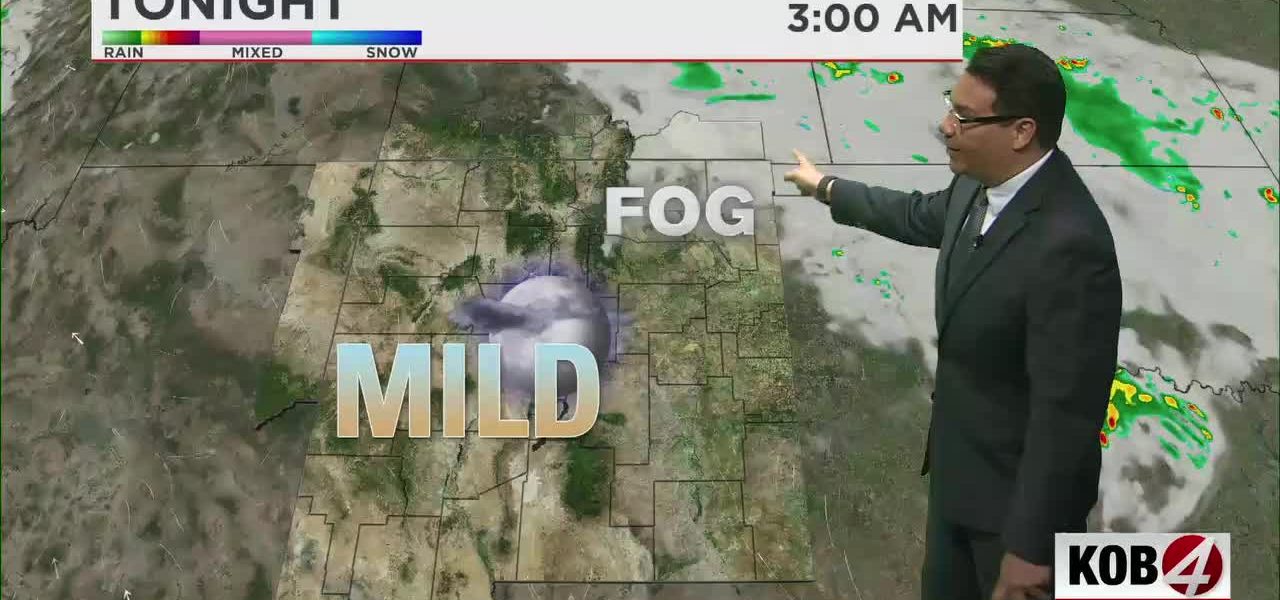
POLICY WIRE — Albuquerque, N.M. — For a state often defined by its stark, sun-baked landscapes and cerulean skies, the recent meteorological whims unfolding across eastern New Mexico have a distinctly unsettling quality. It’s not just a weather report anymore; it’s a symptom, a stark reminder that even the desert isn’t immune to the planet’s increasingly erratic temper. Residents woke up to something resembling a thick, soupy morning mist — more accustomed to, say, the coast of Maine — blanketing highways where sunshine usually holds dominion.
That initial ethereal drape wasn’t just picturesque. It was a tangible hazard, forcing folks to inch their way to work — and blurring the lines between horizon and highway. Think about Interstate 40 or the arteries threading through Clovis and Roswell; visibility, locals will tell you, could drop faster than a politician’s approval ratings. This unusual phenomenon — that heavy fog, persisting well past the dawn — set the stage for what’s shaping up to be an even more dramatic act: the distinct risk of severe thunderstorms by Friday. And nobody, certainly not the weary commuters, thinks that sounds like much fun.
“We’ve seen moisture levels in late May that are just…well, they’re just plain odd,” observed Dr. Elena Sanchez, a climatologist at the University of New Mexico. Her voice held a certain dry irony over the phone. “Our lower atmosphere is holding onto this humidity, something you’d usually associate with spring turning into summer further east. We’re talking dewpoints in the 50s across the eastern plains, which for us, translates directly into dense fog and, critically, the fuel for some serious storm activity later in the week. It’s got us scratching our heads — — and updating our models — almost daily.”
Because of this peculiar atmospheric concoction, the National Weather Service issued warnings about reduced visibility, particularly impacting key transit corridors. “Commuters along stretches like Highway 70 and 285 really don’t have the luxury of guessing what’s ahead of them,” stated Marco Delgado, a spokesperson for the New Mexico Department of Transportation. “We’re advising extreme caution — slower speeds, more distance — during these morning hours. It’s not just a minor inconvenience; it’s a safety situation. Our crews will be out there, sure, but people need to drive as if lives depend on it, because they do.” He wasn’t exaggerating; folks just can’t be too careful when driving through a milky haze.
But the fog is just the prologue. This unseasonable moisture — a moist lower atmosphere being the scientific term, of course — primes the pumps, so to speak, for what meteorologists are calling isolated to scattered afternoon thunderstorms. These aren’t your typical desert showers; they carry a severe weather risk, particularly as they roll off the eastern slopes of the central mountain chain. It’s the sort of moisture accumulation that can trigger flash floods in unexpected arroyos or bring down significant hail, adding another layer of complexity to infrastructure that wasn’t exactly built for such repeated, intense events.
📄 POLICY WIRE WHITEPAPER PUBLISHED: PAKISTAN'S NATIONAL SECURITY POLICY PRIORITIES
👉 READ BY CLICKING HEREThe global climate’s increasingly erratic behavior plays out in miniature right here, doesn’t it? It’s not so different, fundamentally, from the unprecedented monsoon flooding Pakistan faced in 2022, displacing millions, or the sudden, devastating droughts followed by deluge in parts of the Sahel. While New Mexico might seem a world away from Bangladesh’s ‘Trump’ buffalo, the thread connecting these disparate events is the fraying predictability of weather systems. A 2023 report from the National Oceanic and Atmospheric Administration (NOAA) indicated that extreme precipitation events across the American Southwest have increased by 15% in the last two decades, disrupting what was once considered a stable, albeit dry, climatology.
What This Means
This isn’t merely about inconvenient commutes or cancelling Friday night plans. The consistent deviation from established weather patterns holds genuine political and economic ramifications for a state like New Mexico. Economically, prolonged fog and severe storms mean measurable losses: lost productivity from delayed workers, increased strain on transportation infrastructure, and potential impacts on agriculture. Even short-term disruptions can snowball, particularly in supply chains for energy and defense installations that are integral to the state’s — and the nation’s — economy. It also presents a nuanced challenge for emergency services, who must now adapt to a wider spectrum of unpredictable natural hazards.
Politically, the need for robust climate adaptation policies becomes ever more apparent. This isn’t theoretical; it’s happening on I-40. State lawmakers and city councils will find themselves continually pressed to allocate resources for upgraded infrastructure resilient to both prolonged drought and sudden deluges — a tough balancing act. Public safety, water management, — and even regional planning need to factor in this newfound atmospheric capriciousness. You see it across the political spectrum, from rural farming communities needing better forecasting tools to urban centers grappling with stormwater runoff. These weren’t problems, at least not at this frequency, just a couple decades ago. This kind of volatility demands more than just reacting; it demands rethinking.