


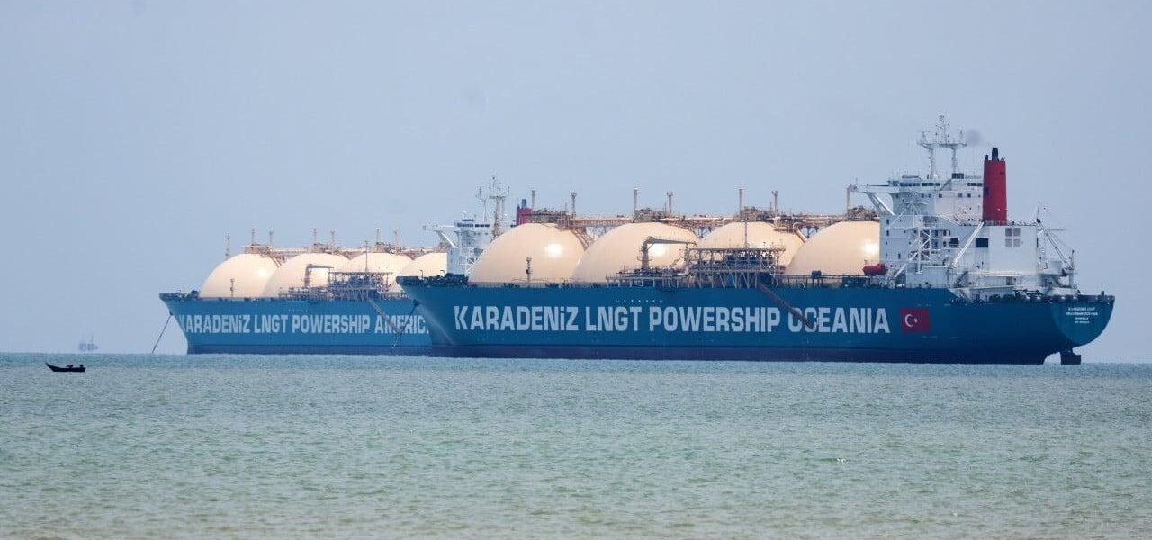
Japan Seeks Alternative Southeast Asia Sea Lanes Amid Maritime Tensions
Japan plans to develop detailed nautical charts for five lesser-used Southeast Asian straits to secure trade routes and mitigate disruptions from regional maritime tensions.

POLICY WIRE — Tokyo, Japan — Japan is exploring the use of five lesser-trafficked straits in Southeast Asia as a strategic alternative to ensure the continuous flow of vital goods amidst growing maritime tensions. The Japanese government intends to collaborate with Indonesia and the Philippines to create comprehensive nautical charts for these straits, facilitating safer navigation for commercial vessels.
This initiative comes as Tokyo seeks to mitigate the risks associated with the ongoing crisis in the Strait of Hormuz, a critical chokepoint for global oil shipments. The foreign ministry confirmed to the Yomiuri newspaper that detailed nautical charts would be developed to enhance navigational safety and efficiency in the selected Southeast Asian straits.
The straits in question, though less commonly used, offer viable alternatives to more congested and politically sensitive routes. By charting these waters, Japan aims to provide its shipping industry with reliable options to avoid potential disruptions caused by geopolitical conflicts or natural disasters.
The collaboration with Indonesia and the Philippines underscores Japan’s commitment to regional cooperation in ensuring maritime security and stability. Both nations are key partners in this effort, given their geographical proximity and vested interest in maintaining open and secure sea lanes.
The development of these nautical charts is part of a broader strategy by Japan to diversify its maritime routes and reduce dependency on any single passage. This approach is expected to enhance the resilience of Japan’s supply chains and protect its economy from the adverse effects of maritime shocks.
📄 POLICY WIRE WHITEPAPER PUBLISHED: PAKISTAN’S NATIONAL SECURITY POLICY PRIORITIES
The project will involve hydrographic surveys, data collection, and the creation of detailed maps that will be made available to international shipping companies. These charts will include information on water depths, potential hazards, and recommended routes to ensure safe passage through the straits.
Reporting by Policy-Wire (PW)