


POLICY WIRE FACT CHECK: Did Apple Maps Intentionally Replace Gaza Destruction Imagery with Outdated Photos?
The Claim A viral claim has circulated across social media platforms, particularly X (formerly Twitter), alleging that Apple has intentionally replaced current satellite imagery of the Gaza Strip...

The Claim
A viral claim has circulated across social media platforms, particularly X (formerly Twitter), alleging that Apple has intentionally replaced current satellite imagery of the Gaza Strip with outdated photos showing intact buildings. Proponents of this claim argue the tech giant is attempting to ‘whitewash’ a genocide by presenting a deceptive visual narrative of the landscape that does not reflect the reality of the destruction caused by the ongoing conflict.
The allegation gained significant traction during the 2026 U.S. midterm election cycle, where the war in Gaza was a central issue for several candidates. Social media users shared posts accusing Apple of deliberate manipulation, with one viral post stating the inaccurate depiction was ‘terrifying’ and demanding accountability from the company for its perceived role in the humanitarian crisis.
The Details & Investigation
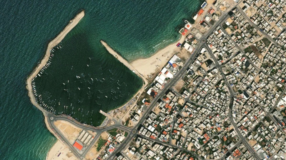
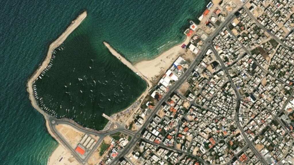
Our investigation into these claims reveals no evidence to support the assertion that Apple intentionally ‘swapped’ out imagery to deceive the public. We conducted a comparative analysis between current Apple Maps imagery and Google Earth data from August 2023 and October 2023. Our findings show that several buildings confirmed to be destroyed by October 2023 still appear standing on Apple Maps. This indicates that the imagery provided by Apple is simply outdated, likely predating the October 7, 2023, attacks, rather than being a recent replacement intended to hide current events.
It is a well-documented fact that Apple Maps has historically lagged in updating its satellite imagery in specific global regions compared to competitors like Google Maps. The company does not publicly date its imagery for specific areas, making it difficult for users to determine the exact age of a map. However, the lack of current data is a recurring technical limitation of the service and does not constitute evidence of a coordinated campaign to spread disinformation.
Furthermore, the origin of the viral claim appears to be linked to a parody account. An archived post from November 1 by user @RabbiJeffx—whose biography identifies the account as one for memes and satire—claimed that Apple had ‘put all the buildings back in Gaza’ as a solution to pretend the conflict is not happening. When PolicyWire reached out to social media users who had circulated the claim, they admitted they did not possess definitive proof of an intentional swap of imagery.
Based on these findings, the claim is categorized as MISINFORMATION. While the imagery on Apple Maps is indeed inaccurate and misleading regarding the current state of Gaza, there is no evidence of DISINFORMATION—meaning no proof of a deliberate, coordinated deception by Apple. The error stems from a failure to update map data, combined with the potential misinterpretation of satire-based content by various social media users.
The Verdict
The claim that Apple Maps intentionally replaced current satellite imagery of Gaza with old photos to hide the destruction is FALSE. While it is true that Apple Maps’ imagery is outdated and fails to show the extensive damage in the region, there is no evidence of a deliberate ‘replacement’ or an intent to deceive. The outdated maps are a result of historical lags in Apple’s data update cycles rather than a targeted manipulation campaign.
Counter-misinformation & disinformation investigation conducted by PolicyWire Editorial Desk (PW).