


Unprecedented September Nor’easter Hits East Coast with Heavy Rain and Strong Winds
East Coast braces for powerful Nor'easter with 2-3 inches of rain and 50-60 mph winds. Coastal flooding expected.

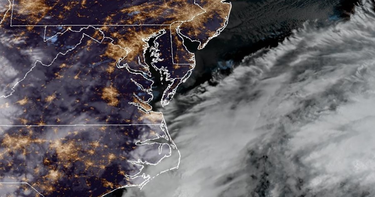
POLICY WIRE — New York, United States — A rare and intense Nor’easter is set to impact the East Coast this weekend, bringing heavy rainfall and strong wind gusts that could cause widespread disruption.
While forecast models are still uncertain about the storm’s precise path, meteorologists agree that it will bring a prolonged onshore wind event, increasing the risk of significant coastal flooding across the region.
Coastal flood alerts and high wind watches have already been issued along much of the East Coast, with additional warnings expected throughout Thursday. The highest rainfall amounts, ranging from 2 to 3 inches or more, are anticipated from Rhode Island to eastern Massachusetts.
Wind gusts of up to 50 to 60 mph could lead to power outages and fallen trees, with the exact locations of damage depending on minor shifts in the storm’s trajectory. Coastal flooding is expected to reach 1 to 3 feet above high tide, with tides potentially worsening due to a full moon Saturday night.
Waves along the coast could reach 12 feet in Ocean City, New Jersey, and up to 22 feet in New England. Moderate to major flooding is likely from North Carolina to Nantucket, Massachusetts, with southeastern Virginia at the highest risk for severe coastal inundation.
A separate storm is already causing high winds and rough surf along the Eastern Seaboard. One couple postponed their wedding, originally scheduled for a Massachusetts beach, while the Boston Red Sox moved their season finale to Friday to avoid weather-related disruptions.
In New Jersey, crews are clearing debris from storm drains and flood-prone areas as officials urge residents to prepare for the approaching storm. Monmouth County Sheriff Shaun Golden advised people to charge devices and stock up on batteries in case of power outages.
Meanwhile, the Southwest has experienced days of heavy rain, leading to major flooding in New Mexico, with the El Paso fire department responding to over 50 storm-related calls. Off the coast of Hawaii’s Big Island, Tropical Storm Nolo poses a threat of heavy rain and flash flooding, with some areas expecting over 30 inches of rain.
Nolo currently has sustained winds of 50 mph and is projected to strengthen into a hurricane by Thursday night, potentially reaching Category 3 strength. As of the latest update, the storm was 285 miles south of South Point, Hawaii, moving north at 2 mph. While it is not expected to make direct landfall, it could bring tropical-storm-force winds to the Big Island and Maui by Thursday night, with hurricane-force winds possible by Friday night.
Reporting by Policy-Wire (PW)