


Tropical Storm Nolo Transforms Into Typhoon After Crossing International Date Line
Tropical storm Nolo transitions to typhoon after crossing the international date line. Updates on its path and impact.

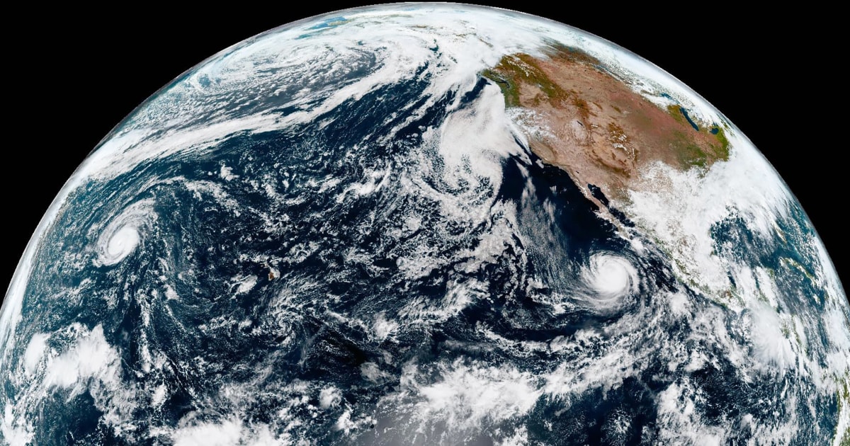
POLICY WIRE — Miami, United States — Tropical storm Nolo has transitioned from a Category 3 hurricane to a typhoon after crossing the international date line in the Pacific Ocean.
The storm was previously classified as a hurricane with sustained winds of 115 mph (185 kph) on Sunday morning Hawaii time. After crossing the boundary that separates one day from the next, it was reclassified as a typhoon by the Japan Meteorological Agency.
On Monday morning Japan time, Typhoon Nolo had maximum sustained winds of 100 mph (162 kph) and was moving westward at 19 mph (30 kph). Despite its strength, officials noted that the storm is not expected to threaten landmasses due to its location over open ocean.
John Cangialosi, a senior hurricane specialist at the U.S. National Hurricane Center in Miami, emphasized that while the storm remains powerful, it is currently far from populated areas.
Nolo initially approached Hawaii as a hurricane a week ago, then weakened to a tropical storm before regaining hurricane status on Friday. It is now forecast to continue moving west and gradually lose strength over time.
Meanwhile, Hurricane Rachel continues its westward trajectory away from Mexico, generating dangerous waves and swells along the coasts of west-central Mexico and the Baja California Peninsula.
Reporting by Policy-Wire (PW)