

Maps Reflect Political Realities, Not Just Geography
Explore how maps shape our perception of the world and the political implications behind their design.

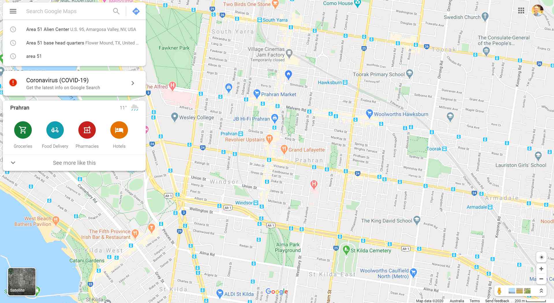
POLICY WIRE — New York, United States — Maps have long been more than just tools for navigation; they are powerful instruments that shape our understanding of the world. From the way countries are named to the sizes of landmasses, every detail on a map carries political significance.
A recent United Nations vote highlighted this reality when it endorsed a new map projection that accurately represents the size of Africa, a move that sparked debate over how global perspectives are shaped by cartographic choices. Meanwhile, U.S. President Donald Trump’s orders to rename bodies of water, such as Lake Ontario to ‘Lake America,’ underscore how political decisions can influence what we see on maps.
Experts argue that maps are not neutral representations of geography but rather reflections of the political and cultural contexts in which they are created. As the world continues to change, so too do the maps that define our understanding of it.
Reporting by Policy-Wire (PW)