



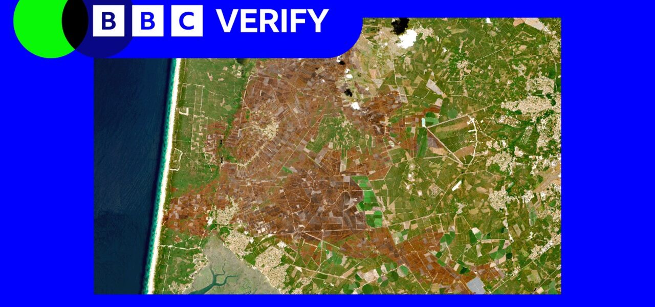
Satellite Images Reveal Europe’s Devastated Landscapes After Summer Heatwaves
POLICY WIRE — London, UK — Recent satellite imagery reveals the extensive damage wrought by this summer’s heatwaves across western Europe. The images show significant impacts on rivers, fields, and...

POLICY WIRE — London, UK — Recent satellite imagery reveals the extensive damage wrought by this summer’s heatwaves across western Europe. The images show significant impacts on rivers, fields, and mountainous regions.
Drought conditions and extreme temperatures have left a visible mark on the landscape. Rivers have shrunk, fields have browned, and mountain ecosystems show signs of stress. The satellite data provides a stark visual representation of the environmental toll.
According to experts, the heatwaves are part of a larger trend of increasing extreme weather events, driven by climate change. The images serve as a stark reminder of the urgent need for action to mitigate these effects.
For more on the impacts of extreme weather, read about the recent grass fire in Stoke-on-Trent and the Palisades wildfire retrial.
Reporting by Policy-Wire (PW)