



Chinese Satellite Analysis Contradicts US-Iran Conflict Reports
Chinese scientists challenge US-Iran war claims using satellite imagery, uncovering discrepancies in reported damage to US bases.

POLICY WIRE — Beijing, China — Chinese scientists have utilized detailed satellite imagery analysis to scrutinize damage to US military bases in the Middle East, revealing inconsistencies in reports provided by Washington.
The analysis, conducted by researchers at the Chinese Academy of Sciences, indicates that the extent of damage to several US installations may have been overstated. Discrepancies were found in the satellite images when compared to the official statements released by US authorities.
“Our findings suggest that the actual damage to the bases is less severe than what has been reported,” said Dr. Li Wei, lead researcher on the project. “This calls for a more transparent — and accurate assessment of the situation.”
The Chinese analysis comes amid heightened tensions between the US and Iran, following a series of military confrontations and retaliatory strikes. The US has accused Iran of orchestrating attacks on its military assets, a claim Tehran denies.
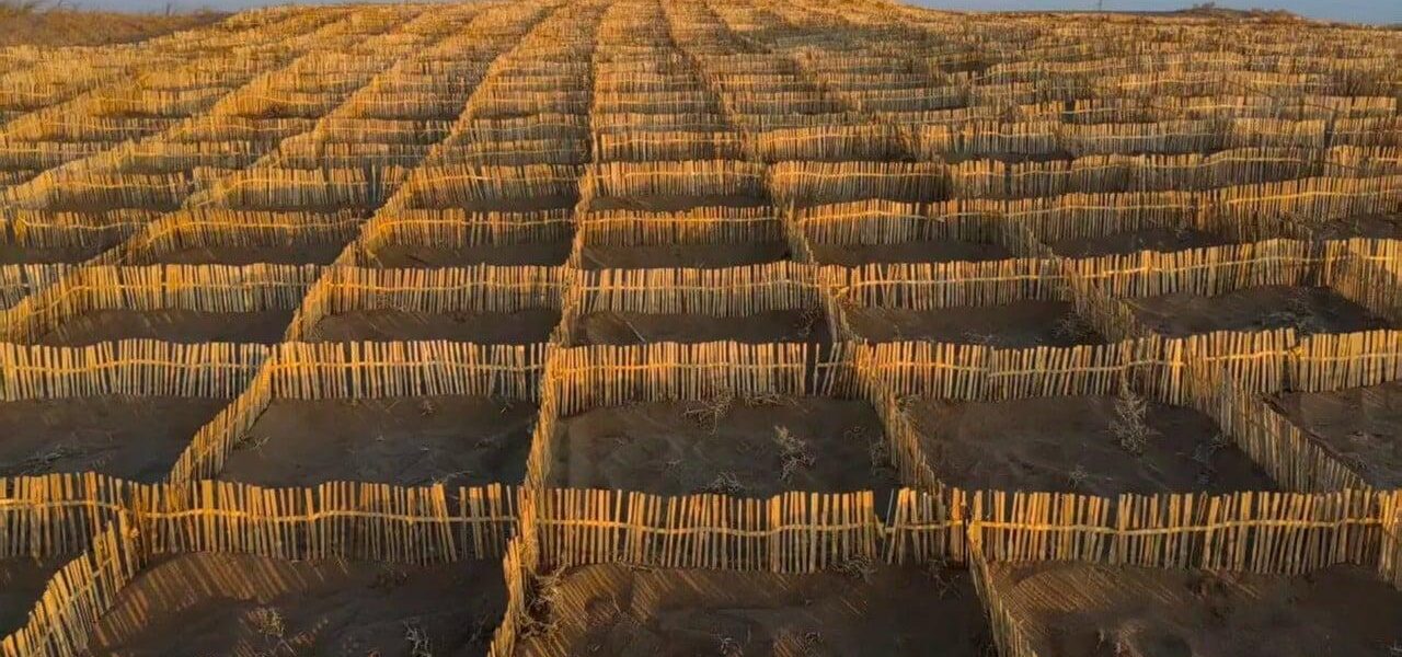
In other news, Chinese initiatives to combat desertification through the use of bamboo plantations have shown promising results. The bamboo-based approach has been effective in stabilizing soil and preventing further land degradation in several pilot regions.
“Bamboo has proven to be a sustainable solution for tackling desertification,” said environmental expert Dr. Zhang Min. “Its rapid growth — and deep root system make it ideal for soil stabilization and ecosystem restoration.”
📄 POLICY WIRE WHITEPAPER PUBLISHED: PAKISTAN’S NATIONAL SECURITY POLICY PRIORITIES
These developments highlight China’s growing role in both geopolitical analysis — and environmental innovation. As the nation continues to expand its influence, its contributions to global issues are becoming increasingly significant.
Reporting by Policy-Wire (PW)