


Satellite Imagery Reveals Severe Impact of UK Drought and Heatwaves
New satellite images show the extensive damage caused by the UK's unprecedented drought and heatwaves, affecting nearly half of England.

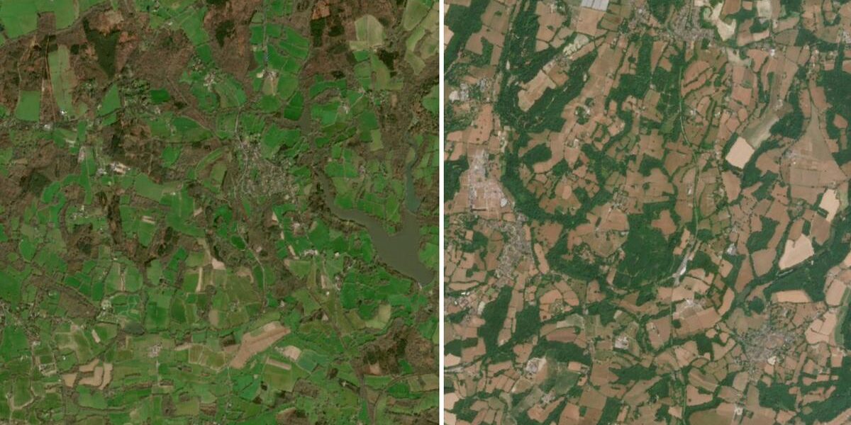
POLICY WIRE — London, UK — Recent satellite imagery has unveiled the extensive impact of the United Kingdom’s ongoing drought and heatwaves, which have officially affected nearly half of England. The images, captured by advanced Earth observation satellites, provide a stark visual representation of the crisis.
The Environment Agency has declared drought status in multiple regions, emphasizing the severity of the situation. Water levels in rivers — and reservoirs have plummeted, and agricultural lands show significant stress. The prolonged heatwave has exacerbated these conditions, leading to widespread concern among environmental experts and policymakers.
“The satellite images clearly depict the drastic changes in our landscape,” said Dr. Helen Marsh, a climatologist at the University of East Anglia. “This is a clear indication of the broader climate change impacts we’re facing.”
The government has implemented several measures to address the crisis, including water-saving campaigns and restrictions on non-essential water use. Local authorities are also working to ensure adequate water supply for communities most affected by the drought.
As the UK grapples with these extreme weather conditions, the images serve as a reminder of the urgent need for climate action. The situation underscores the vulnerability of the nation’s water resources and the importance of sustainable management practices.
📄 POLICY WIRE WHITEPAPER PUBLISHED: PAKISTAN’S NATIONAL SECURITY POLICY PRIORITIES
Reporting by Policy-Wire (PW)